Презентация К уроку английского языка "The United Kingdom Of Great Britain and Northern Ireland. Prepared by Alissa Meznikova" - скачать онлайн
На нашем сайте вы можете скачать и просмотреть онлайн доклад-презентацию на тему К уроку английского языка "The United Kingdom Of Great Britain and Northern Ireland. Prepared by Alissa Meznikova" - скачать абсолютно бесплатно. Урок-презентация на эту тему содержит всего 25 слайдов. Все материалы созданы в программе PowerPoint и имеют формат ppt или же pptx. Материалы и темы для презентаций взяты из открытых источников и загружены их авторами, за качество и достоверность информации в них администрация сайта не отвечает, все права принадлежат их создателям. Если вы нашли то, что искали, отблагодарите авторов - поделитесь ссылкой в социальных сетях, а наш сайт добавьте в закладки.
Оцените презентацию от 1 до 5 баллов!
- Тип файла:ppt / pptx (powerpoint)
- Всего слайдов:25 слайдов
- Для класса:1,2,3,4,5,6,7,8,9,10,11
- Размер файла:6.63 MB
- Просмотров:95
- Скачиваний:0
- Автор:неизвестен
Слайды и текст к этой презентации:
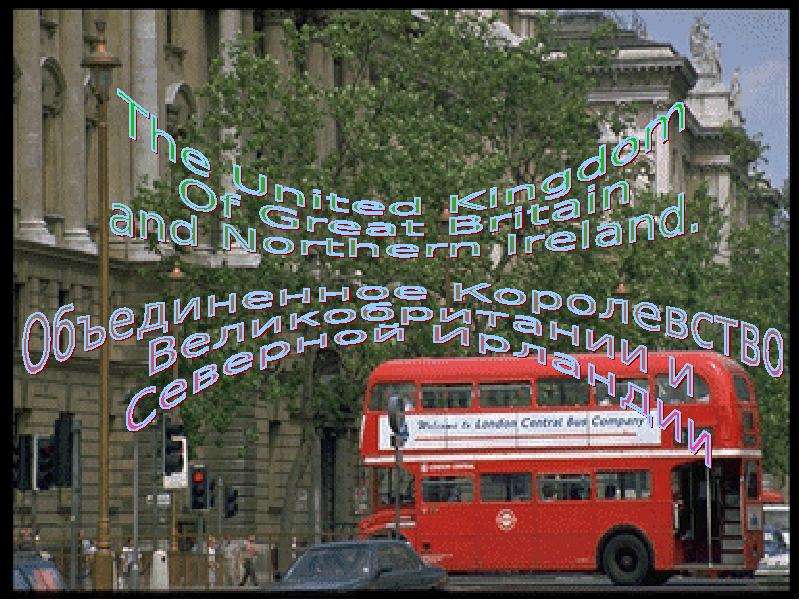
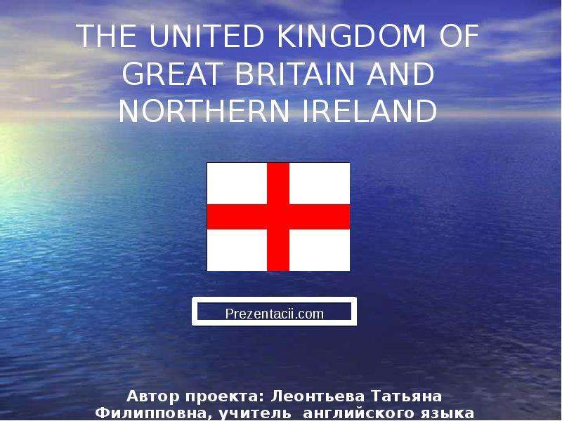
№1 слайд
Содержание слайда:
№2 слайд
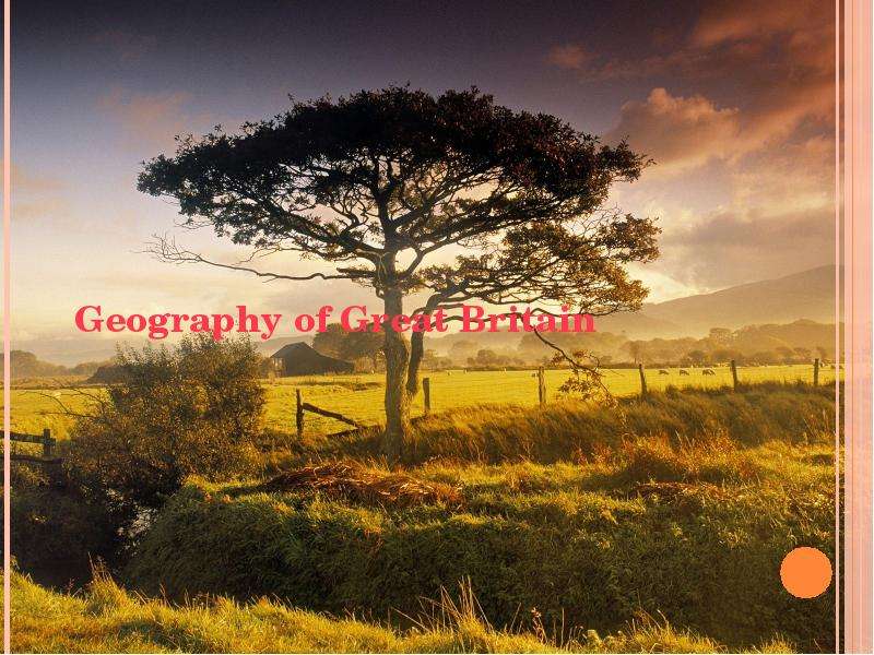
Содержание слайда: Geography of Great Britain
№3 слайд
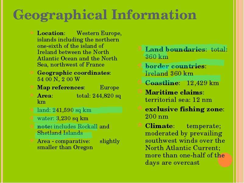
Содержание слайда: Geographical Information
Location: Western Europe, islands including the northern one-sixth of the island of Ireland between the North Atlantic Ocean and the North Sea, northwest of France
Geographic coordinates: 54 00 N, 2 00 W
Map references: Europe
Area: total: 244,820 sq km
land: 241,590 sq km
water: 3,230 sq km
note: includes Rockall and Shetland Islands
Area - comparative: slightly smaller than Oregon
№4 слайд
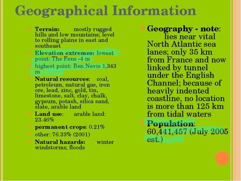
Содержание слайда: Geographical Information
Terrain: mostly rugged hills and low mountains; level to rolling plains in east and southeast
Elevation extremes: lowest point: The Fens -4 m
highest point: Ben Nevis 1,343 m
Natural resources: coal, petroleum, natural gas, iron ore, lead, zinc, gold, tin, limestone, salt, clay, chalk, gypsum, potash, silica sand, slate, arable land
Land use: arable land: 23.46%
permanent crops: 0.21%
other: 76.33% (2001)
Natural hazards: winter windstorms; floods
№5 слайд
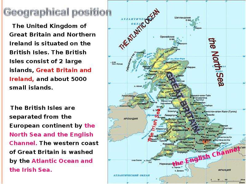
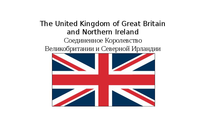
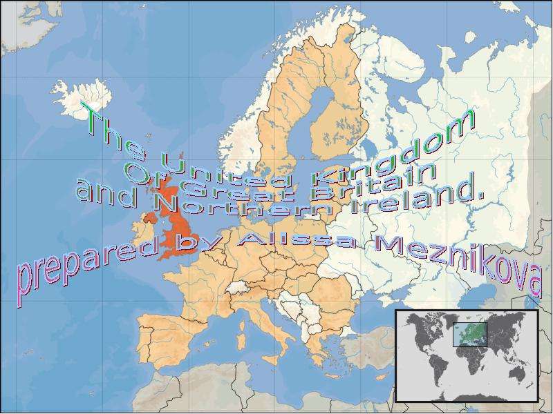
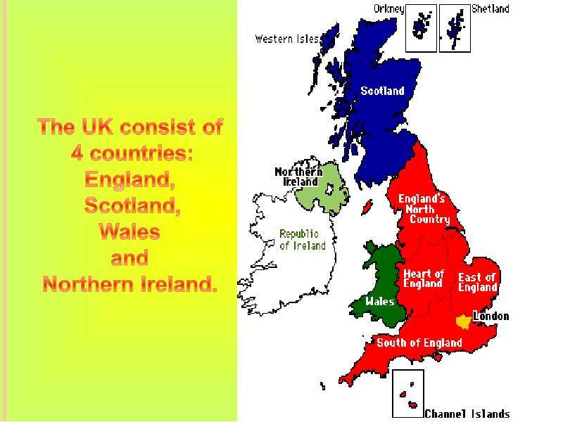
Содержание слайда: The United Kingdom of Great Britain and Northern Ireland is situated on the British Isles. The British Isles consist of 2 large islands, Great Britain and Ireland, and about 5000 small islands.
The United Kingdom of Great Britain and Northern Ireland is situated on the British Isles. The British Isles consist of 2 large islands, Great Britain and Ireland, and about 5000 small islands.
The British Isles are separated from the European continent by the North Sea and the English Channel. The western coast of Great Britain is washed by the Atlantic Ocean and the Irish Sea.
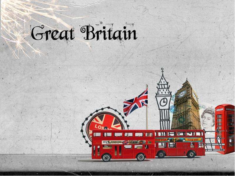
№6 слайд
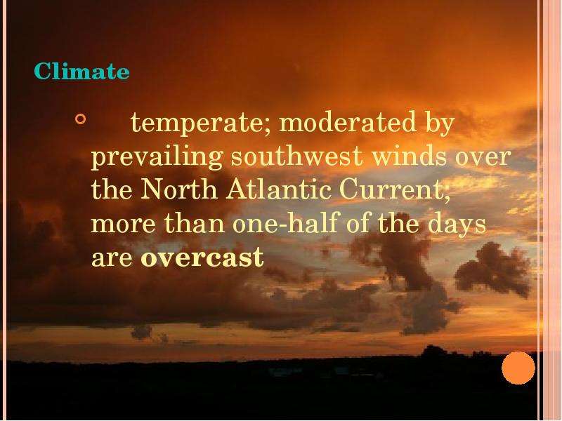
Содержание слайда: Climate
temperate; moderated by prevailing southwest winds over the North Atlantic Current; more than one-half of the days are overcast
№7 слайд
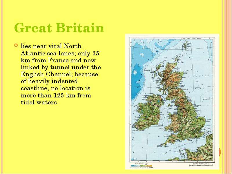
Содержание слайда: Great Britain
lies near vital North Atlantic sea lanes; only 35 km from France and now linked by tunnel under the English Channel; because of heavily indented coastline, no location is more than 125 km from tidal waters
№8 слайд
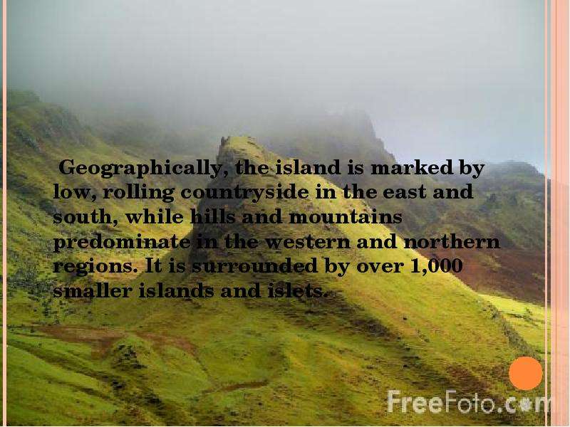
Содержание слайда: Geographically, the island is marked by low, rolling countryside in the east and south, while hills and mountains predominate in the western and northern regions. It is surrounded by over 1,000 smaller islands and islets.
№9 слайд
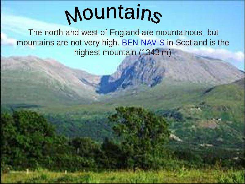
Содержание слайда: The north and west of England are mountainous, but mountains are not very high. BEN NAVIS in Scotland is the highest mountain (1343 m)
The north and west of England are mountainous, but mountains are not very high. BEN NAVIS in Scotland is the highest mountain (1343 m)
№10 слайд
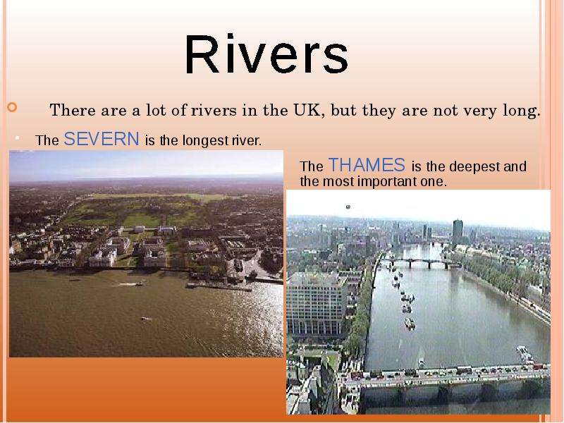
Содержание слайда: There are a lot of rivers in the UK, but they are not very long.
There are a lot of rivers in the UK, but they are not very long.
№11 слайд
Содержание слайда:
№12 слайд
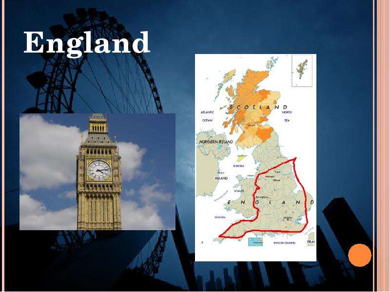
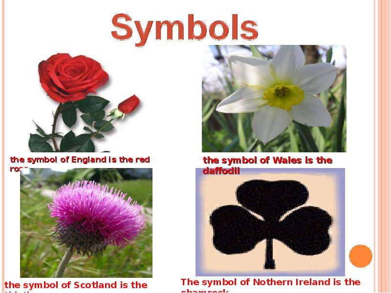
Содержание слайда: England
№13 слайд
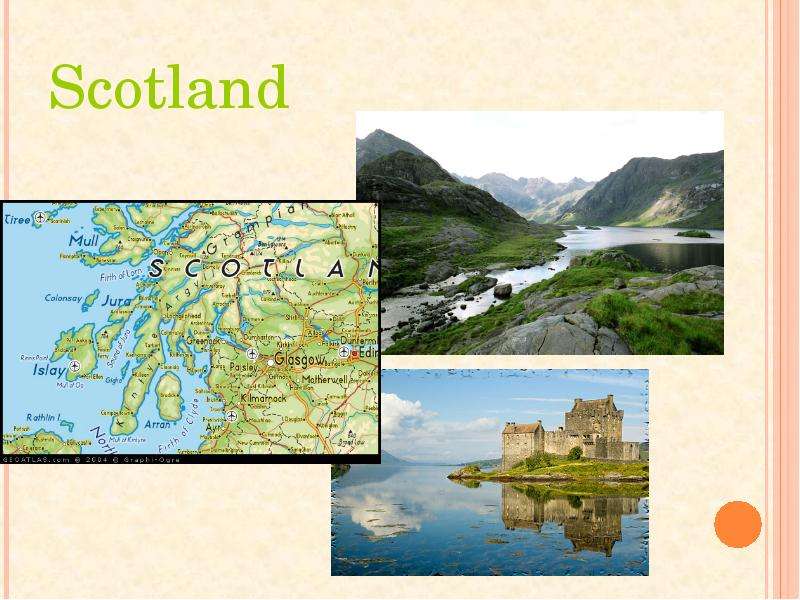
Содержание слайда: Scotland
№14 слайд
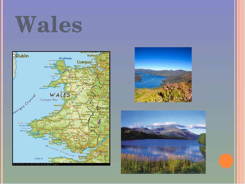
Содержание слайда: Wales
№15 слайд
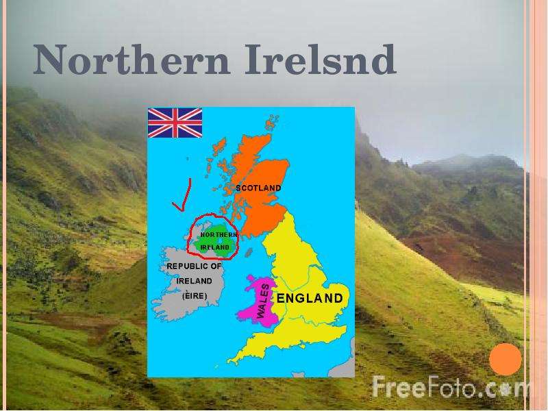
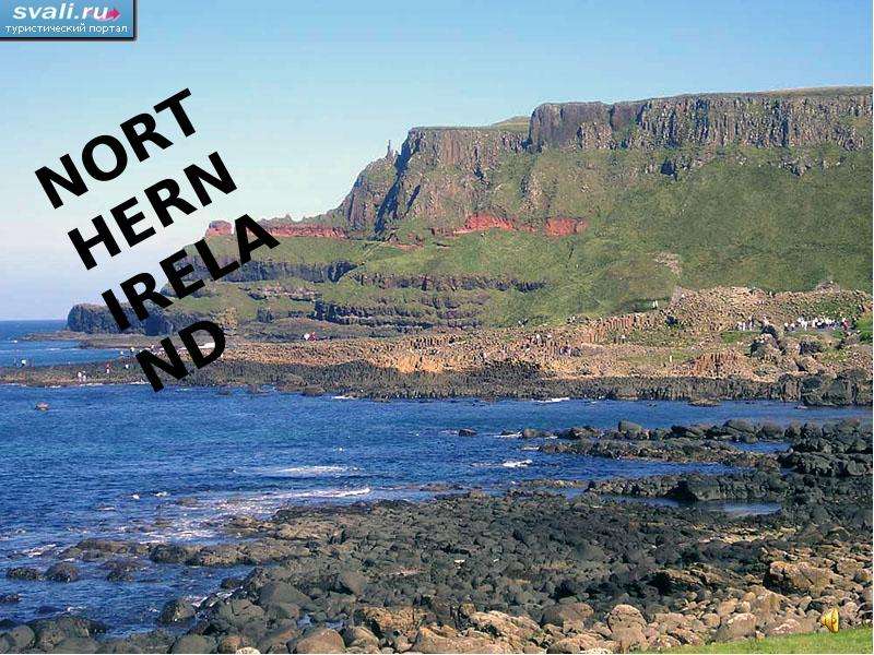
Содержание слайда: Northern Irelsnd
№16 слайд
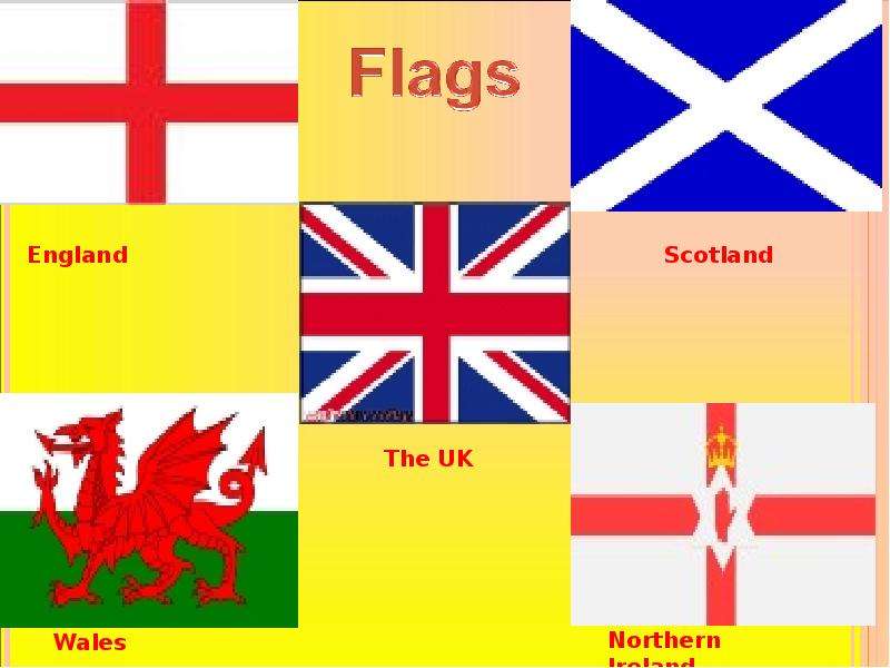
Содержание слайда: FLAGS
№17 слайд
Содержание слайда:
№18 слайд
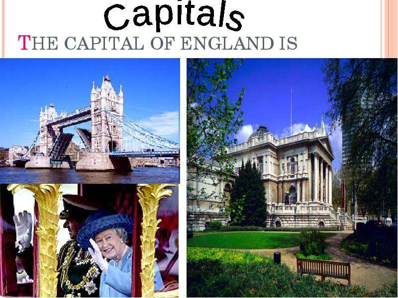
Содержание слайда: THE CAPITAL OF ENGLAND IS LONDON
№19 слайд
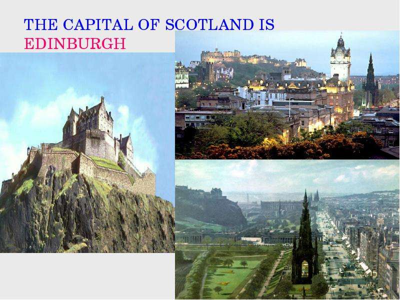
Содержание слайда: THE CAPITAL OF SCOTLAND IS EDINBURGH
№20 слайд
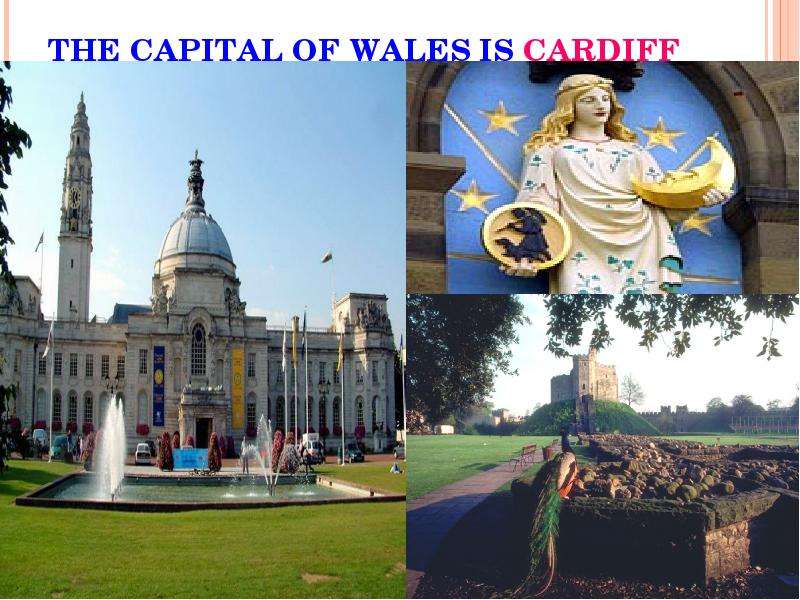
Содержание слайда: THE CAPITAL OF WALES IS CARDIFF
№21 слайд
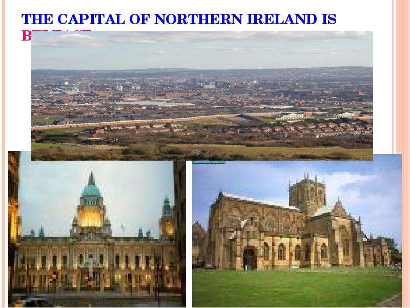
Содержание слайда: THE CAPITAL OF NORTHERN IRELAND IS BELFAST
№22 слайд
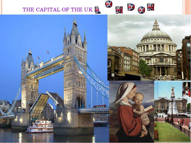
Содержание слайда: THE CAPITAL OF THE UK IS
№23 слайд
Содержание слайда:
№24 слайд
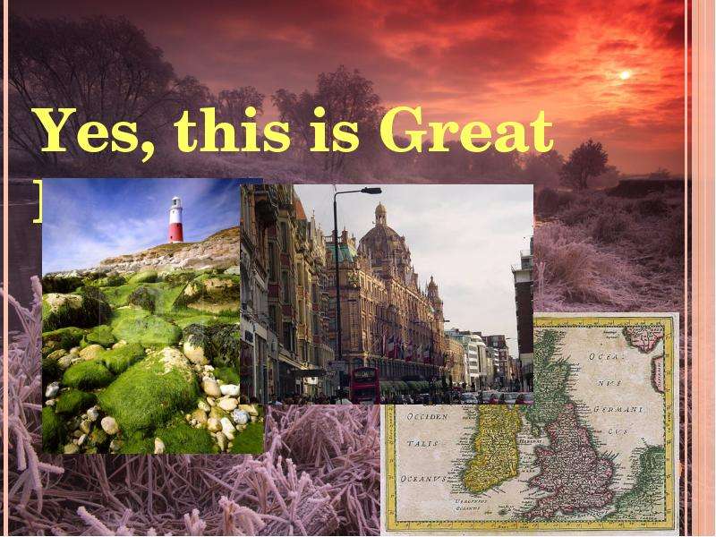
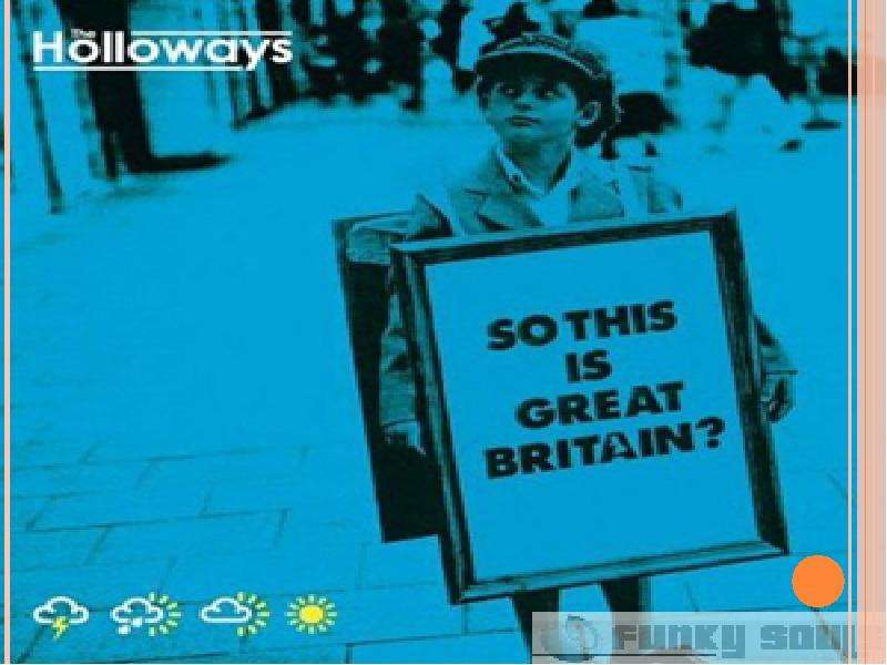
Содержание слайда: Yes, this is Great Britain
№25 слайд
Содержание слайда:
Скачать все slide презентации К уроку английского языка "The United Kingdom Of Great Britain and Northern Ireland. Prepared by Alissa Meznikova" - скачать одним архивом: