Презентация The United States Of America. Geographical position онлайн
На нашем сайте вы можете скачать и просмотреть онлайн доклад-презентацию на тему The United States Of America. Geographical position абсолютно бесплатно. Урок-презентация на эту тему содержит всего 19 слайдов. Все материалы созданы в программе PowerPoint и имеют формат ppt или же pptx. Материалы и темы для презентаций взяты из открытых источников и загружены их авторами, за качество и достоверность информации в них администрация сайта не отвечает, все права принадлежат их создателям. Если вы нашли то, что искали, отблагодарите авторов - поделитесь ссылкой в социальных сетях, а наш сайт добавьте в закладки.
Оцените презентацию от 1 до 5 баллов!
- Тип файла:ppt / pptx (powerpoint)
- Всего слайдов:19 слайдов
- Для класса:1,2,3,4,5,6,7,8,9,10,11
- Размер файла:2.76 MB
- Просмотров:124
- Скачиваний:0
- Автор:неизвестен
Слайды и текст к этой презентации:
№1 слайд
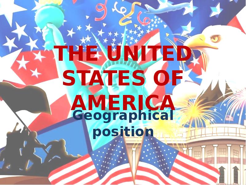
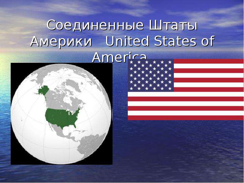
Содержание слайда: THE UNITED STATES OF AMERICA
Geographical position
№2 слайд
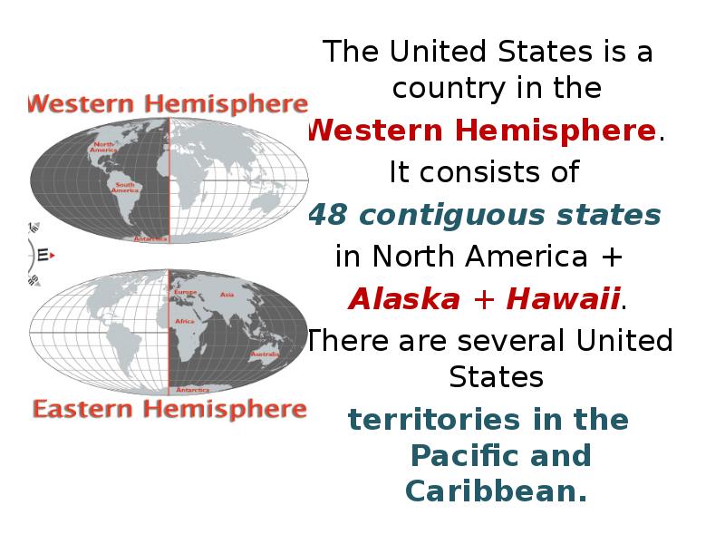
Содержание слайда: The United States is a country in the
The United States is a country in the
Western Hemisphere.
It consists of
48 contiguous states
in North America +
Alaska + Hawaii.
There are several United States
territories in the Pacific and Caribbean.
№3 слайд
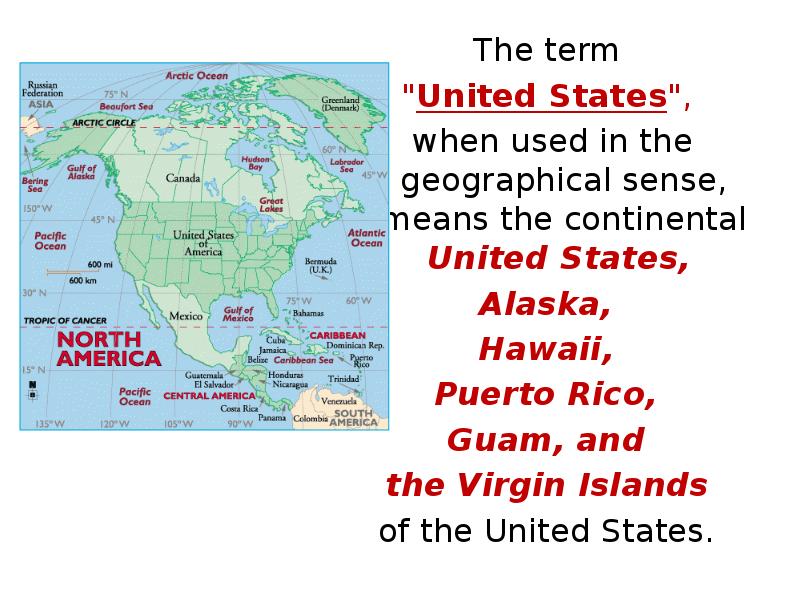
Содержание слайда: The term
The term
"United States",
when used in the geographical sense, means the continental United States,
Alaska,
Hawaii,
Puerto Rico,
Guam, and
the Virgin Islands
of the United States.
№4 слайд

Содержание слайда: The country shares land borders
The country shares land borders
with Canada and Mexico and
maritime (water) borders
with Russia, Cuba, and The Bahamas.
№5 слайд

Содержание слайда: Washed by the Pacific Ocean, the Atlantic Ocean, and the Gulf of Mexico.
Alaska - the Bering Strait and the Arctic Ocean, while Hawaii - the Pacific Ocean.
№6 слайд

Содержание слайда: The United States of America
The group of forty-eight states in the single region between Canada and Mexico is referred as the Lower 48.
Alaska is separated from the Lower 48 by Canada.
The State of Hawaii is an archipelago in the Pacific Ocean.
The capital city, Washington, District of Columbia, is a federal district located on land donated by the state of Maryland.
№7 слайд
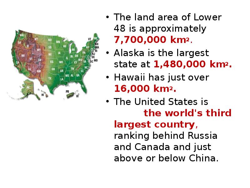
Содержание слайда: The land area of Lower 48 is approximately 7,700,000 km2.
The land area of Lower 48 is approximately 7,700,000 km2.
Alaska is the largest state at 1,480,000 km2.
Hawaii has just over 16,000 km2.
The United States is the world's third largest country, ranking behind Russia and Canada and just above or below China.
№8 слайд
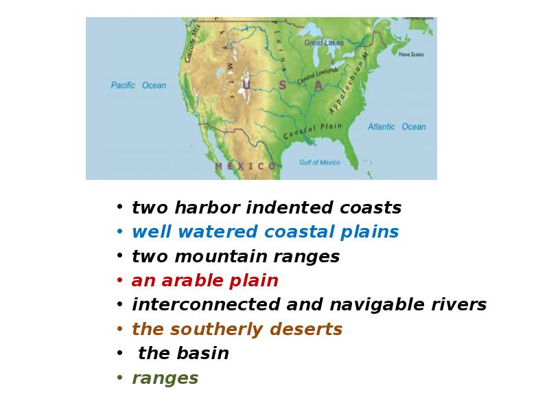
Содержание слайда: two harbor indented coasts
well watered coastal plains
two mountain ranges
an arable plain
interconnected and navigable rivers
the southerly deserts
the basin
ranges
№9 слайд
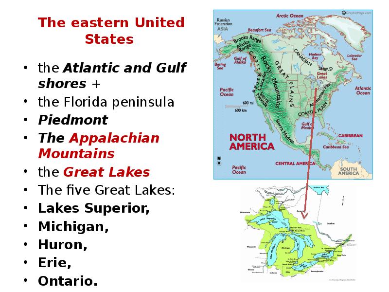
Содержание слайда: The eastern United States
the Atlantic and Gulf shores +
the Florida peninsula
Piedmont
The Appalachian Mountains
the Great Lakes
The five Great Lakes:
Lakes Superior,
Michigan,
Huron,
Erie,
Ontario.
№10 слайд

Содержание слайда: The southeast United States
subtropical forests
mangrove wetlands in Florida.
the Mississippi River with two tributaries, the Ohio River and the Tennessee River.
rolling hills and productive farmland
№11 слайд
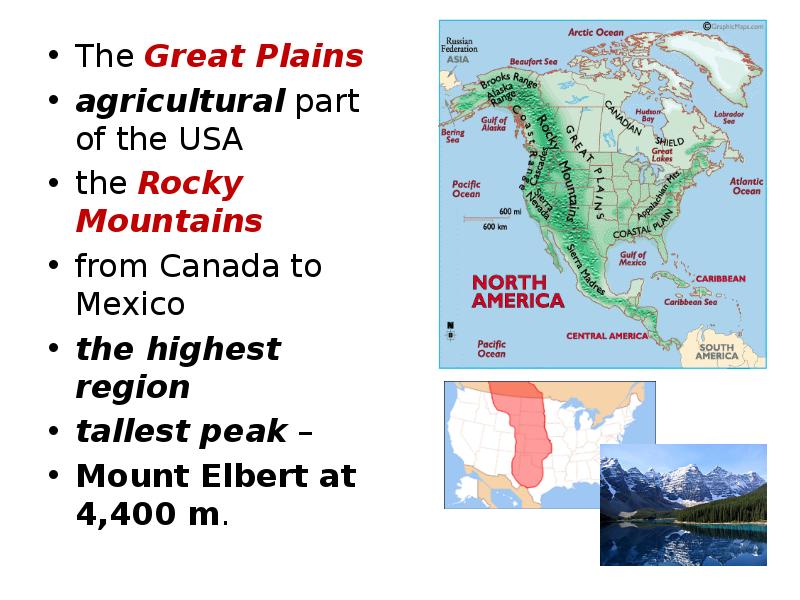
Содержание слайда: The Great Plains
The Great Plains
agricultural part of the USA
the Rocky Mountains
from Canada to Mexico
the highest region
tallest peak –
Mount Elbert at 4,400 m.
№12 слайд
Содержание слайда: Intermountain West
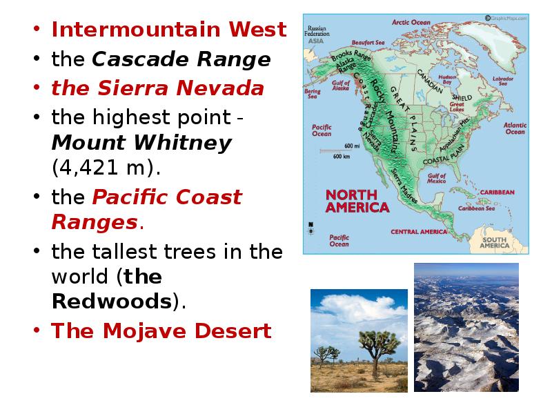
Intermountain West
the Cascade Range
the Sierra Nevada
the highest point - Mount Whitney (4,421 m).
the Pacific Coast Ranges.
the tallest trees in the world (the Redwoods).
The Mojave Desert
№13 слайд

Содержание слайда: CLIMATE AND ECOLOGY
Continental
Subtropical
Tropical
Semi-arid
Arid
Mediterranean
Oceanic
Subarctic or polar
№14 слайд
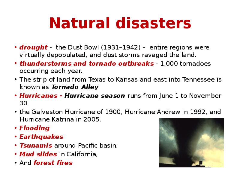
Содержание слайда: Natural disasters
drought - the Dust Bowl (1931–1942) – entire regions were virtually depopulated, and dust storms ravaged the land.
thunderstorms and tornado outbreaks - 1,000 tornadoes occurring each year.
The strip of land from Texas to Kansas and east into Tennessee is known as Tornado Alley
Hurricanes - Hurricane season runs from June 1 to November 30
the Galveston Hurricane of 1900, Hurricane Andrew in 1992, and Hurricane Katrina in 2005.
Flooding
Earthquakes
Tsunamis around Pacific basin,
Mud slides in California,
And forest fires
№15 слайд
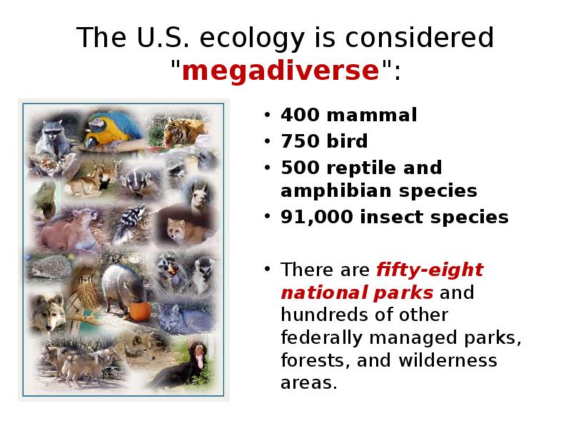
Содержание слайда: The U.S. ecology is considered "megadiverse":
400 mammal
750 bird
500 reptile and amphibian species
91,000 insect species
There are fifty-eight national parks and hundreds of other federally managed parks, forests, and wilderness areas.
№16 слайд
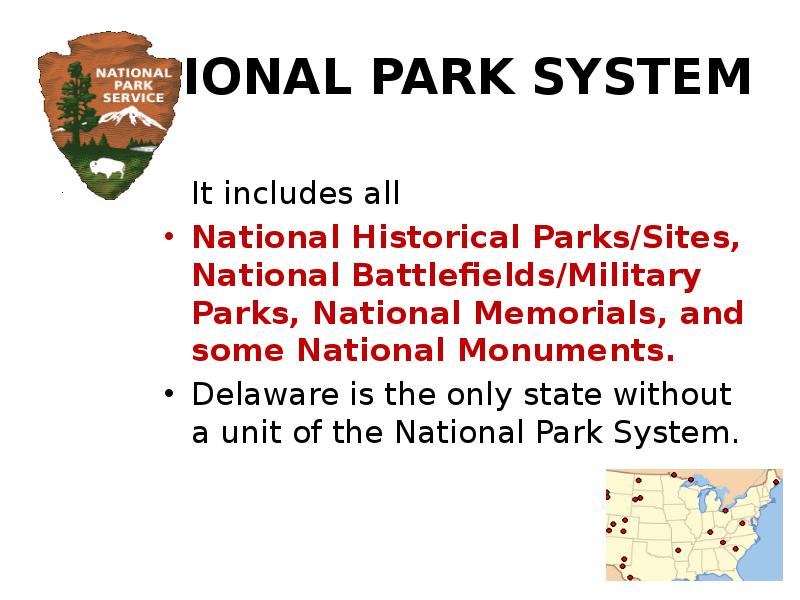
Содержание слайда: NATIONAL PARK SYSTEM
It includes all
National Historical Parks/Sites, National Battlefields/Military Parks, National Memorials, and some National Monuments.
Delaware is the only state without a unit of the National Park System.
№17 слайд

Содержание слайда:
№18 слайд
Содержание слайда: POLITICAL DIVISIONS
The United States is a federal union of 50 states. The original thirteen states were the successors of the thirteen colonies that rebelled against British rule.
The United States also possesses
five major overseas territories:
Puerto Rico and the United States Virgin Islands in the Caribbean; and American Samoa, Guam, and the Northern Mariana Islands in the Pacific.
№19 слайд

Содержание слайда:
Скачать все slide презентации The United States Of America. Geographical position одним архивом: